Barrier and reef
Islands destinations in the USA
This chapter is barrier islands and reefs — not the Hawaiian volcanoes, which stay on the Islands region page.
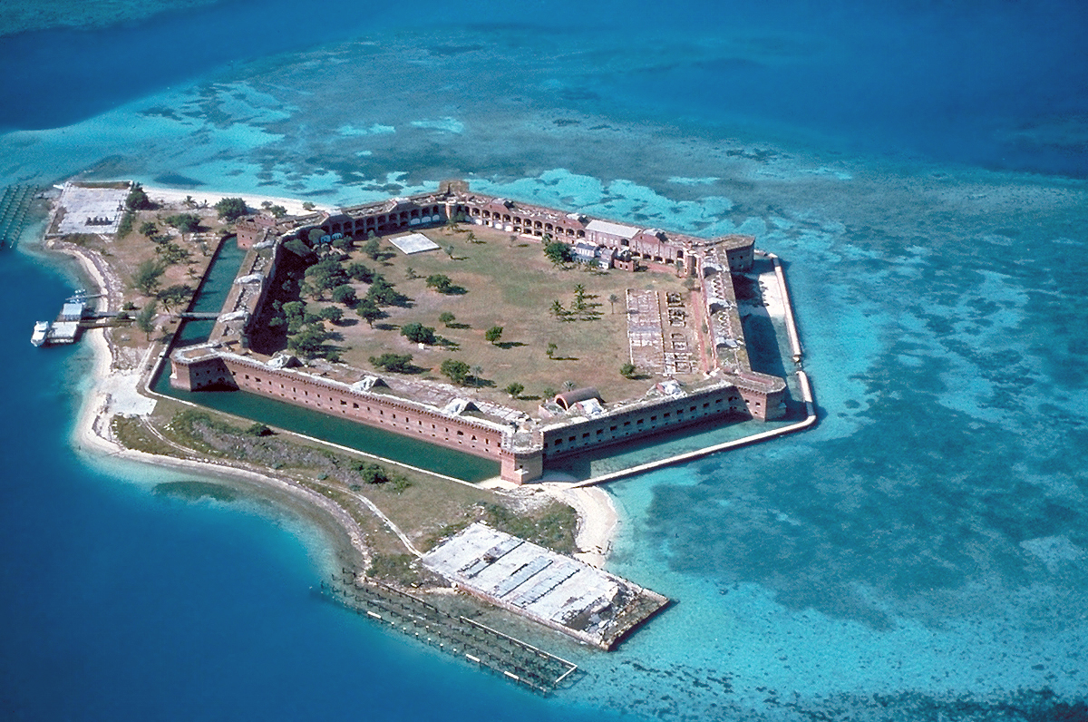
Dry Tortugas is a fort on a reef, reached by boat. Biscayne is mostly water. Cumberland Island, Cape Lookout, Padre Island, and Gulf Islands are the undeveloped barrier shores: live oak and horses, a diamond lighthouse, a long Gulf beach, and the white-sand islands of the Mississippi Sound. Several of them have no bridge.
- Plates
- 6
- States
- 5
States in this chapter
- Florida
- Georgia
- Mississippi / Florida
- North Carolina
- Texas
Islands chapter
The plates
 Plate CCCLXXXIX
island24.6° N · 82.9° W
Dry Tortugas National Park
Garden Key, 70 miles west of Key West, Florida
A brick fort on a reef, a day's boat from Key West.
Open plate
 Plate CCCXC
island30.9° N · 81.4° W
Cumberland Island National Seashore
Georgia barrier coast, ferry from St. Marys, Georgia
Live oak, horses, and a beach the length of the island.
Open plate
 Plate CCCXCI
island34.6° N · 76.5° W
Cape Lookout National Seashore
Core Banks and Shackleford Banks, North Carolina
A lighthouse on a bank that never grew a town.
Open plate
 Plate CCCXCII
island27.0° N · 97.4° W
Padre Island National Seashore
Gulf barrier, Kleberg and Kenedy counties, Texas
Sixty miles of Gulf beach with no town on it.
Open plate
 Plate CCCXCIII
island30.4° N · 87.0° W
Gulf Islands National Seashore
Ship, Horn, and Petit Bois islands, Mississippi / Florida
White-sand islands sitting in the Mississippi Sound.
Open plate
 Plate CCCXCIV
island25.5° N · 80.2° W
Biscayne National Park
northern Florida Keys, south of Miami, Florida
A national park that is almost all water.
Open plate
Asked at the trailhead
Questions already asked
- Which barrier islands are in this atlas?
- Cumberland Island, Cape Lookout, Padre Island, and Gulf Islands. Dry Tortugas and Biscayne are the reef parks. Hawaii stays in the Islands region, not this terrain.
Change course