The Field Atlas
0/363Water and grass
Wetland destinations in the USA
Wetlands are some of the most living ground in the United States: sawgrass, cypress, prairie potholes, and salt marsh.
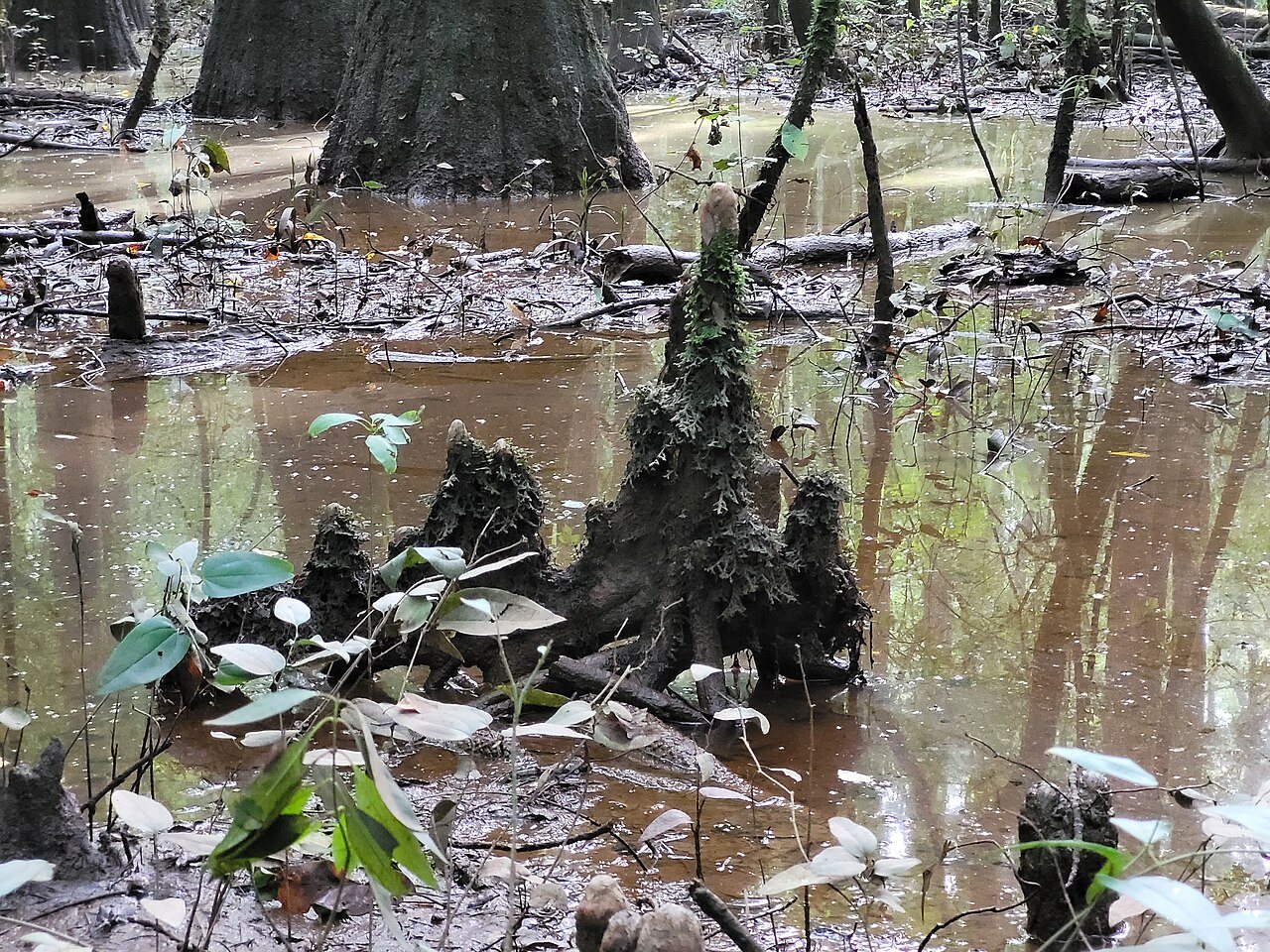
FrontispieceCongaree, South Carolina
Travel here is slower — a boardwalk, a canoe, a bird you wait for. Cranberry Glades is the Monongahela bog on the Allegheny Plateau. These plates help plan wetland walking without treating every swamp as the same green.
- Plates
- 6
- States
- 5
States in this chapter
- Florida
- South Carolina
- Texas / Louisiana
- Utah
- West Virginia
Wetland chapter
The plates
Plate XXVIICongaree
wetlandCongaree River floodplain, South Carolina
A floodplain forest that still remembers being a wilderness.
33.8° N · 80.8° WOpen plate →
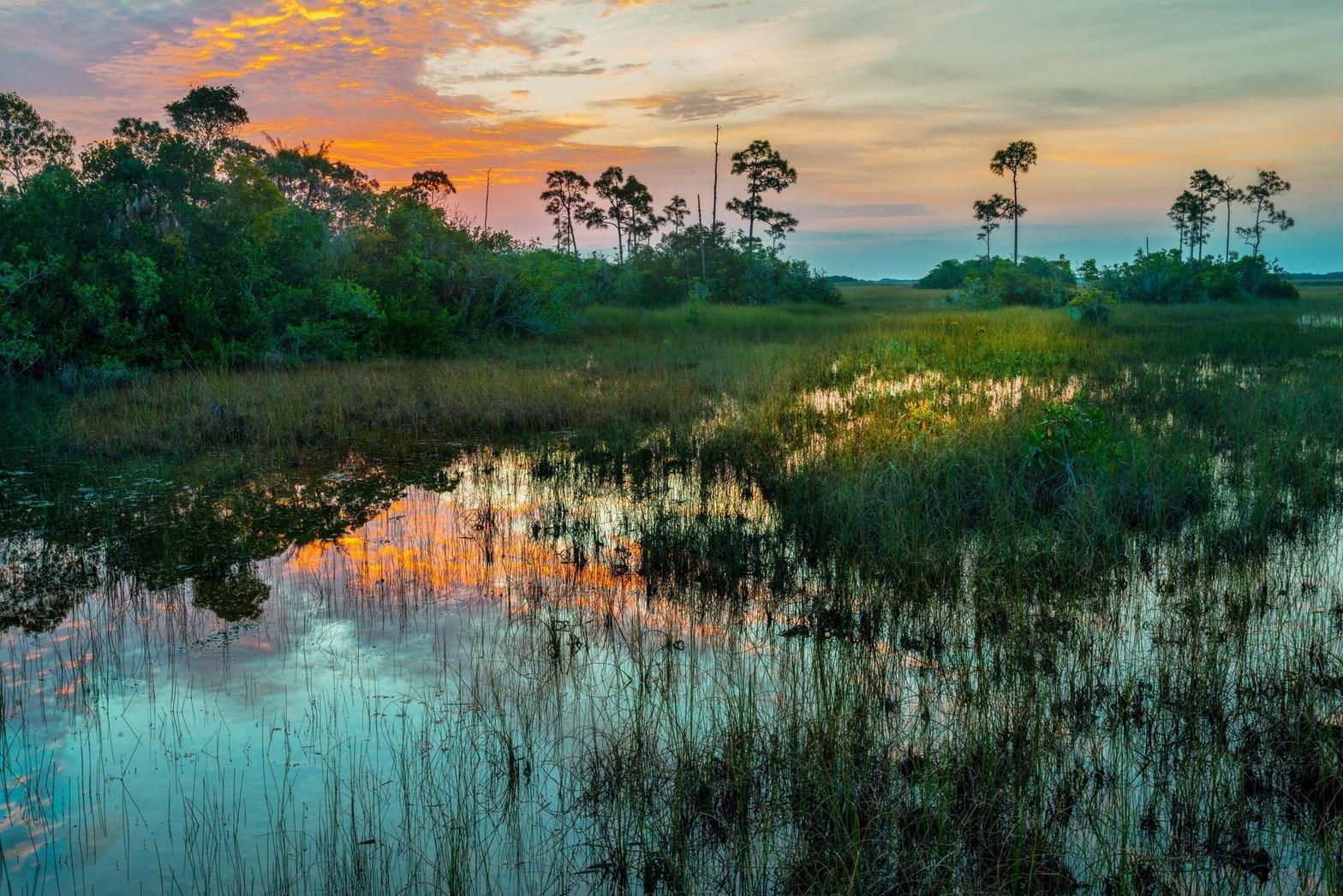 Plate XXVIII
Everglades
wetlandFlorida
Not a swamp so much as a river too wide to see.
25.3° N · 80.9° WOpen plate →
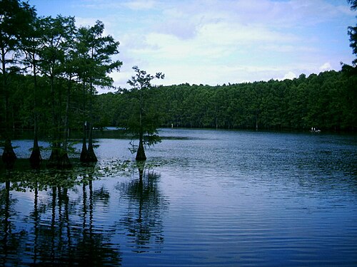 Plate LII
Caddo Lake
wetlandCypress swamp on the Texas–Louisiana line, Texas / Louisiana
A forest that decided to stand in the water.
32.7° N · 94.1° WOpen plate →
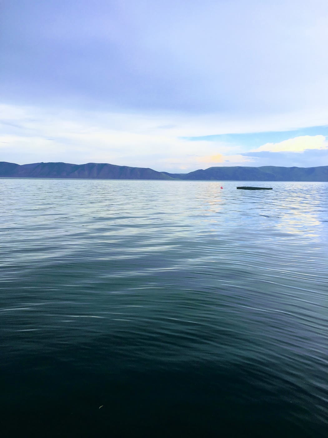 Plate CCVI
Bear Lake
wetlandUtah–Idaho line, Utah
A lake that learned a Caribbean blue.
41.9° N · 111.4° WOpen plate →
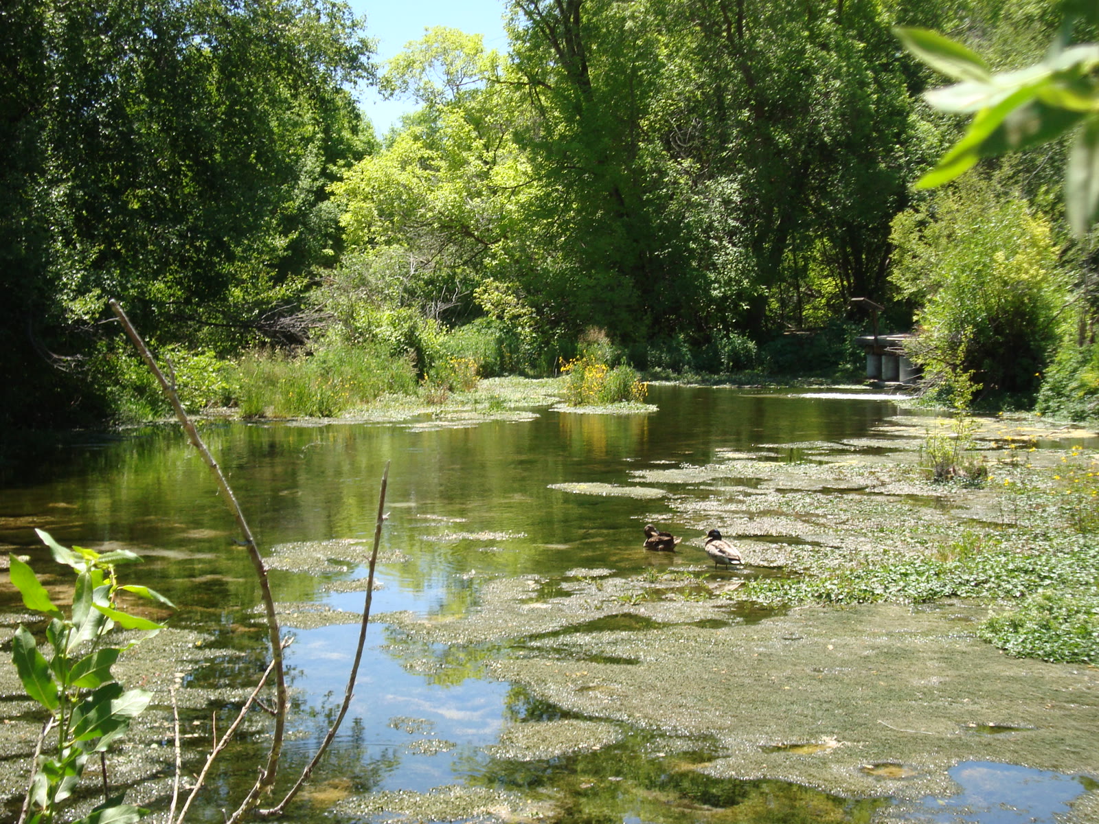 Plate CCCXXXVII
Cascade Springs
wetlandAmerican Fork fee area, Alpine Loop, Utah
Cold water building its own stone stairs.
40.5° N · 111.5° WOpen plate →
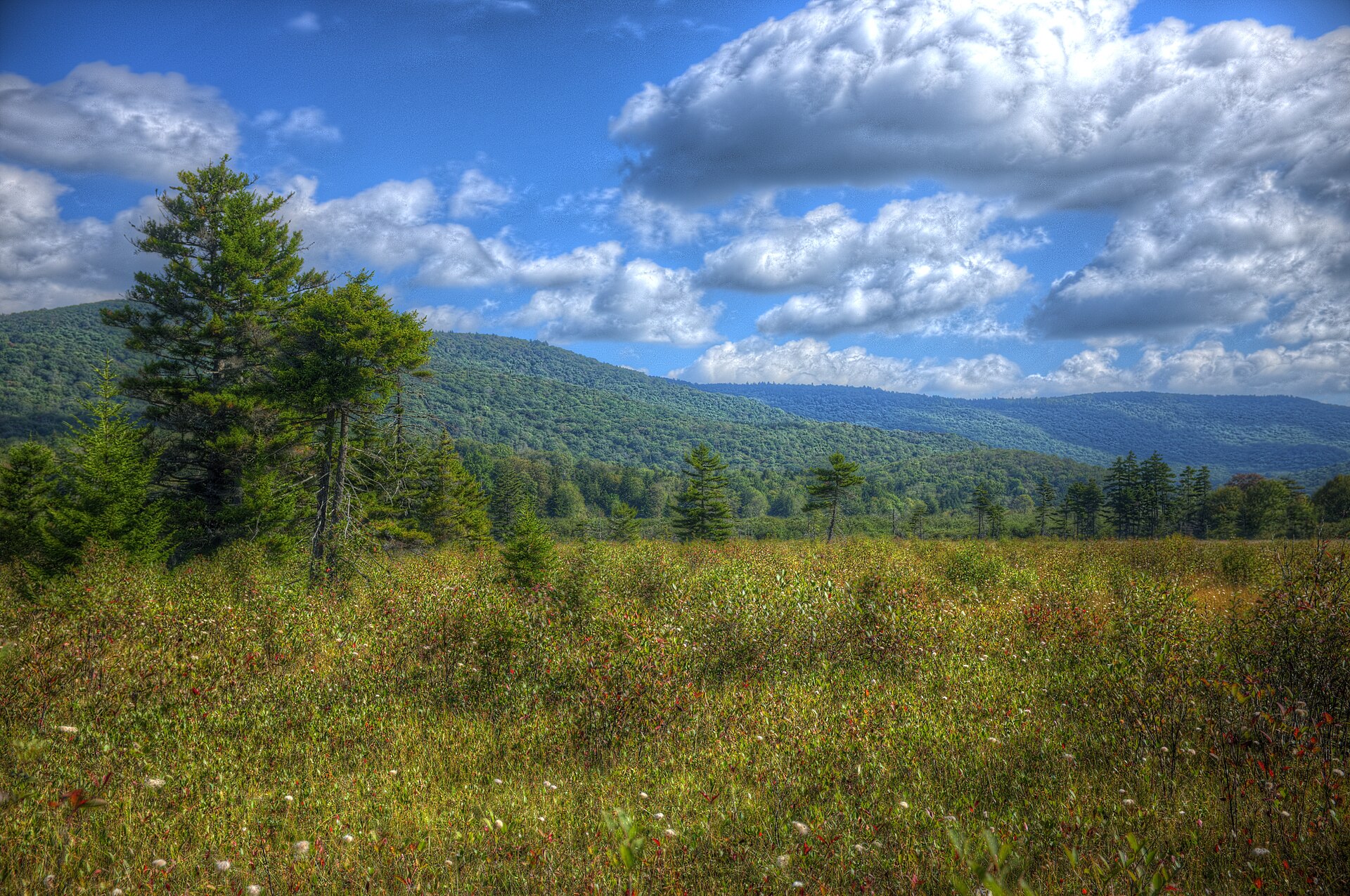 Plate CCCLII
Cranberry Glades
wetlandMonongahela National Forest, Pocahontas County, West Virginia
A northern bog on southern mountains.
38.2° N · 80.3° WOpen plate →
Asked at the trailhead
Questions already asked
- Which US wetlands are open to visitors?
- Everglades country is the famous start. This atlas also lists Caddo Lake cypress plus marsh and prairie-wetland plates, so a nature trip can include more than one basin.
Change course