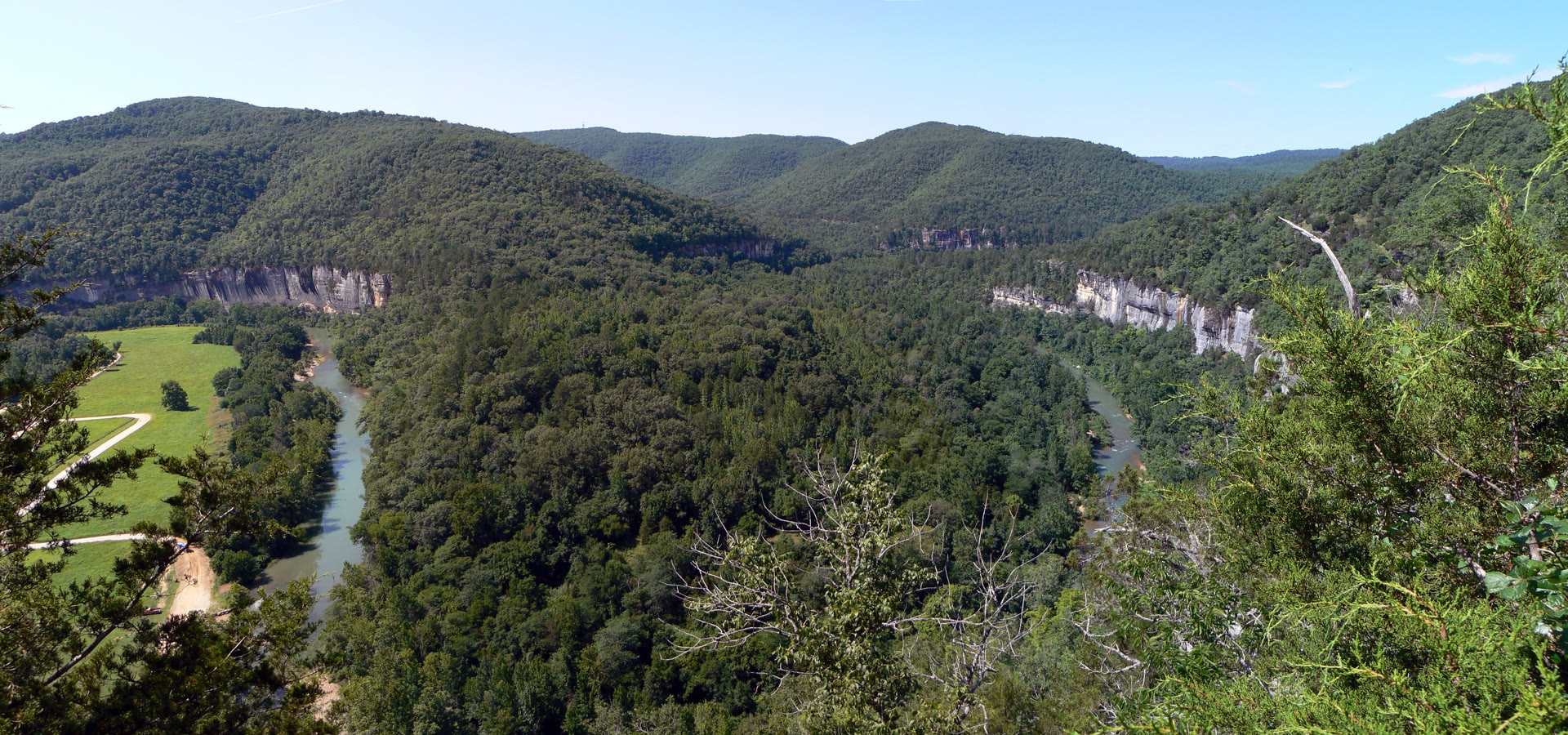
Bend in the Buffalo River from Steel Creek Overlook, Buffalo National River
Landform
A free-flowing Ozark river under limestone and sandstone bluffs — about 135 miles from the Boston Mountains to the White River, with no entrance fee
Field note
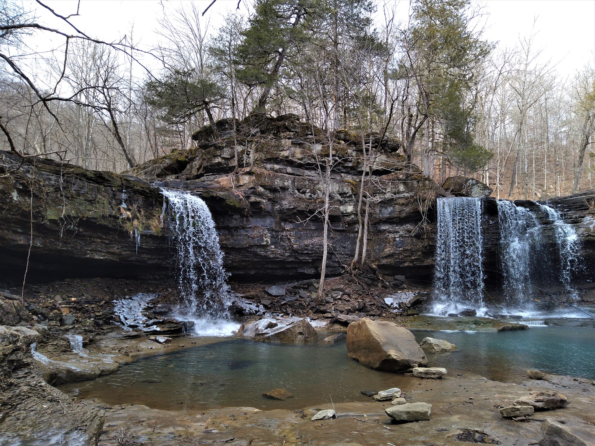
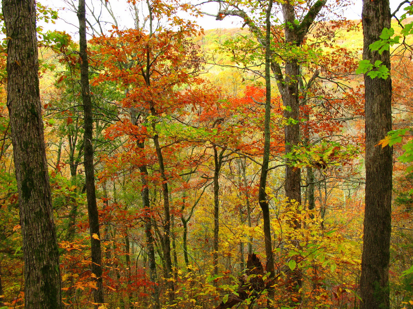
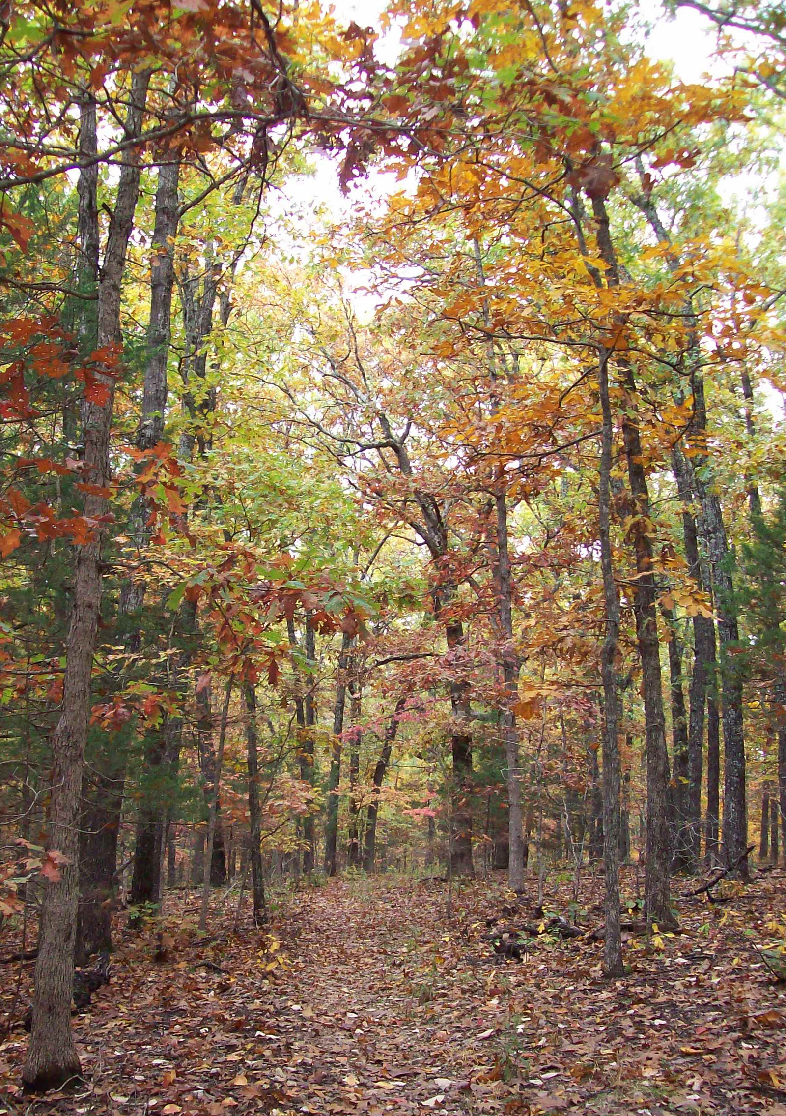
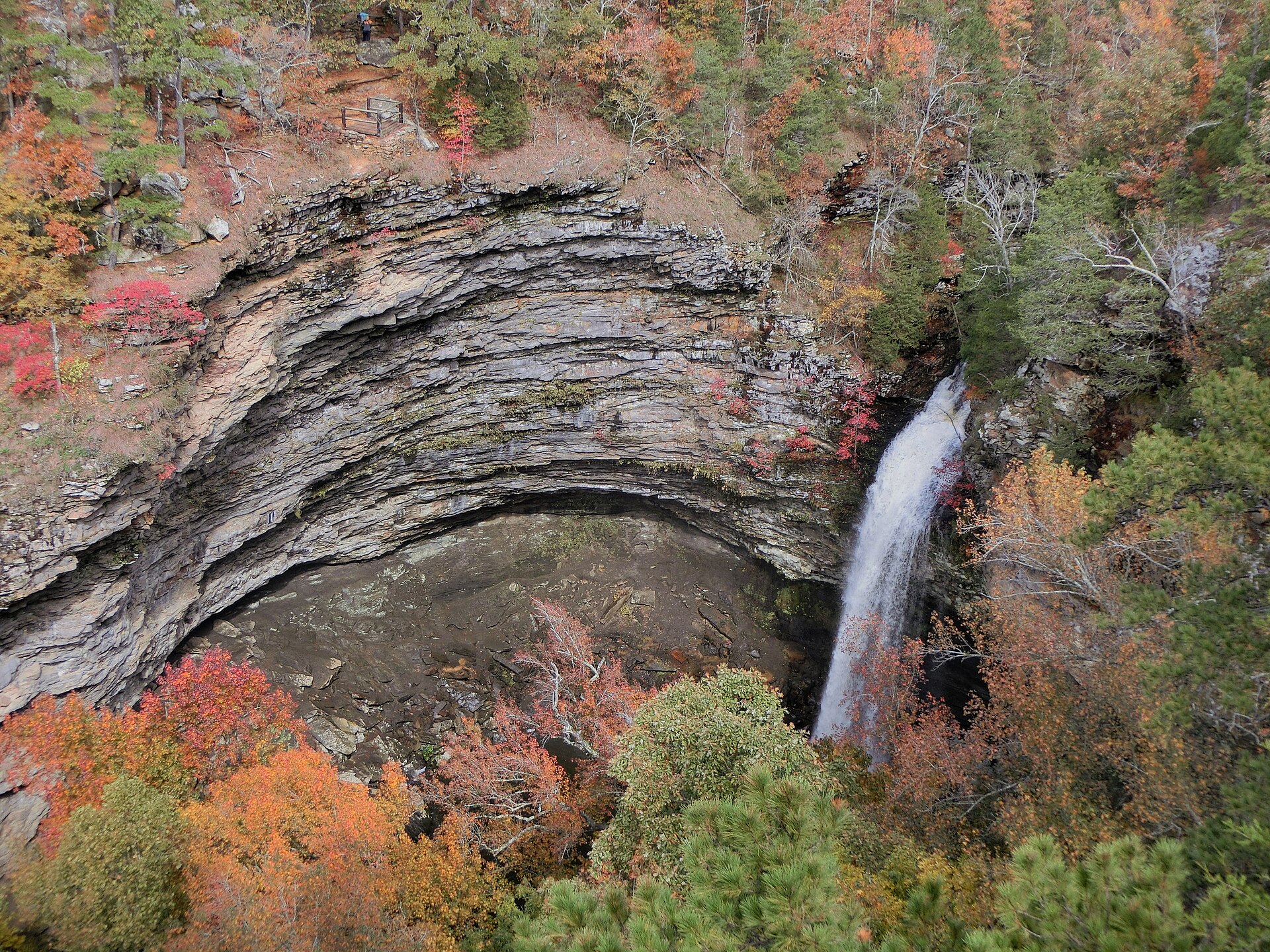
Congress designated Buffalo National River in 1972 as the first national river in the United States. The National Park Service administers about 135 free-flowing miles through the Ozark Mountains of northern Arkansas, from the Boston Mountains to the White River, with no entrance fee. Tall bluffs line the water — Big Bluff near Ponca rises about 550 feet on the Goat Trail, and Roark Bluff stands above Steel Creek. Ponca, Lost Valley and Eden Falls, Hemmed-in Hollow Falls, the Blue Hole near Ponca, Buffalo Point, and the Rush ghost town are landmarks along the corridor. Spring brings the floating season; hardwood color peaks in late October. Harrison and Jasper are the gateway towns. Ozark National Forest and Richland Creek keep their own plates to the east. Hot Springs National Park is south in the Ouachitas. This plate is the Buffalo, not the Current in Missouri and not Petit Jean.
Buffalo National River is the first national river — free water under Ozark bluffs from Ponca to the White. Harrison and Jasper are the towns. Ozark National Forest is the hardwood country beside it. This plate is the Buffalo, not Richland Creek and not the Current in Missouri.