Eroded clay
Badlands destinations in the USA
Badlands are soft rock worn into a maze of buttes, caps, and striped gullies — too broken to plow, which is how they kept their name.

Badlands National Park, the Theodore Roosevelt badlands, Makoshika, Bisti, and the painted desert already live on other chapters. They are listed here too. Toadstool Geologic Park is the Nebraska hoodoo field, not the Utah toadstools. Terry Badlands is the quiet Montana rim above the Yellowstone. Adobe Town is the big Wyoming wilderness study area. Jasper Forest is the petrified-log badlands in the same park as the Tawa Point plate, and it is not that overlook.
- Plates
- 17
- States
- 10
States in this chapter
- Arizona
- Colorado
- Kansas
- Montana
- Nebraska
- New Mexico
- North Dakota
- South Dakota
- Utah
- Wyoming
Badlands chapter
The plates
Plate XLVIIhills43.9° N · 102.3° W
Badlands
White River drainage, South Dakota
A prairie that has been taken apart and left in piles.
Open plate
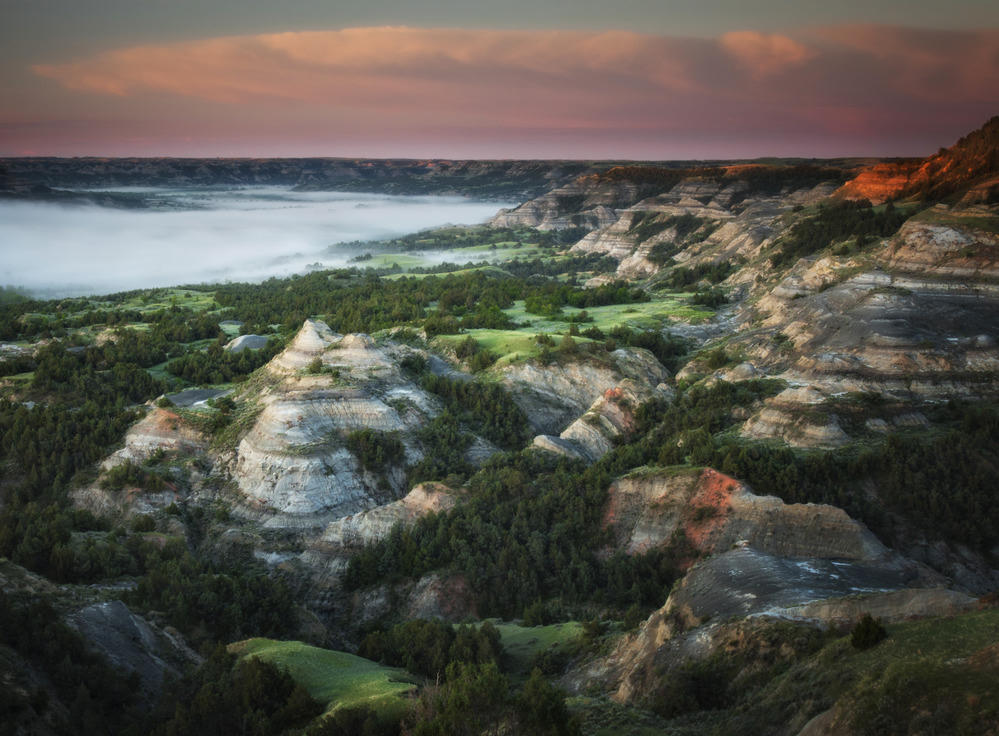 Plate LXVI
hills47.0° N · 103.5° W
Theodore Roosevelt National Park
South Unit near Medora; North Unit on the river, North Dakota
The national park that holds the painted river — two units, one ranch, still wearing grass.
Open plate
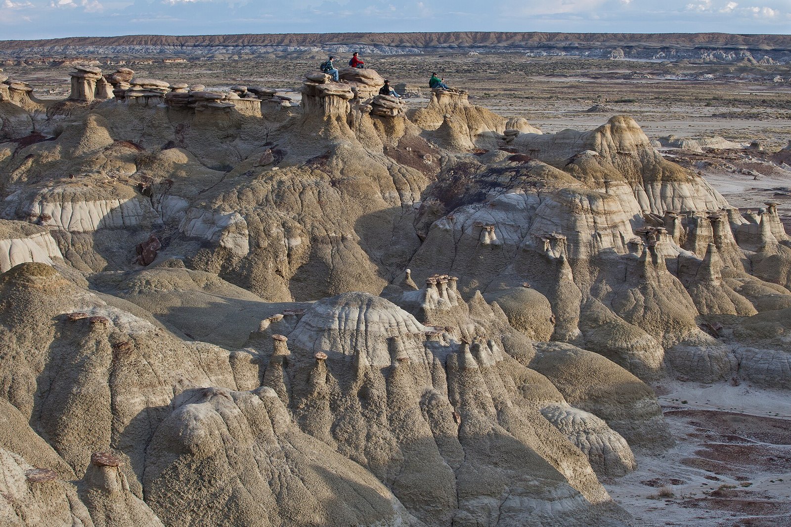 Plate CXIV
desert36.2° N · 107.9° W
Ah-Shi-Sle-Pah
San Juan Basin, New Mexico
A wilderness that learned to grow wings.
Open plate
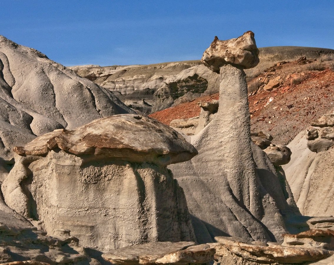 Plate CXXIII
desert36.3° N · 108.2° W
Bisti / De-Na-Zin
San Juan Basin, New Mexico
A wilderness that looks like another planet’s shore.
Open plate
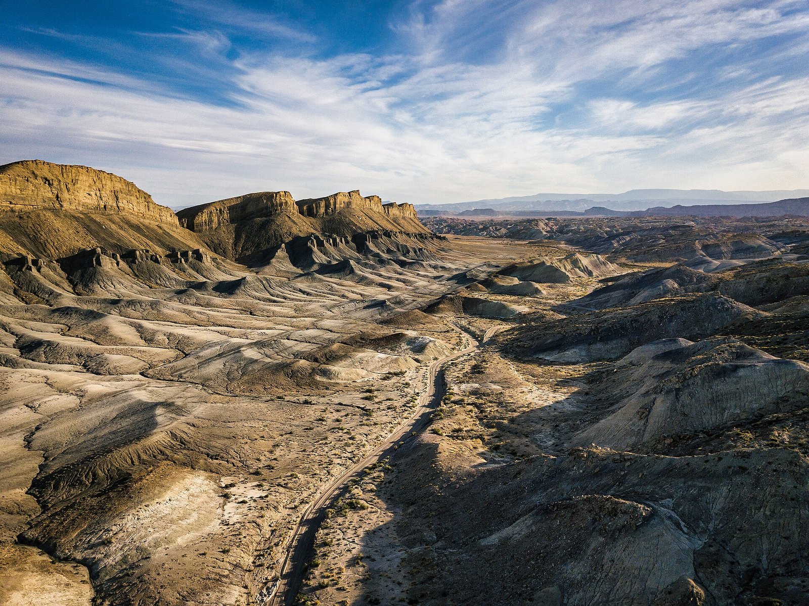 Plate CXXVII
desert38.3° N · 110.9° W
Factory Butte
Factory Bench, near Hanksville, Utah
A butte that looks like it belongs to another planet.
Open plate
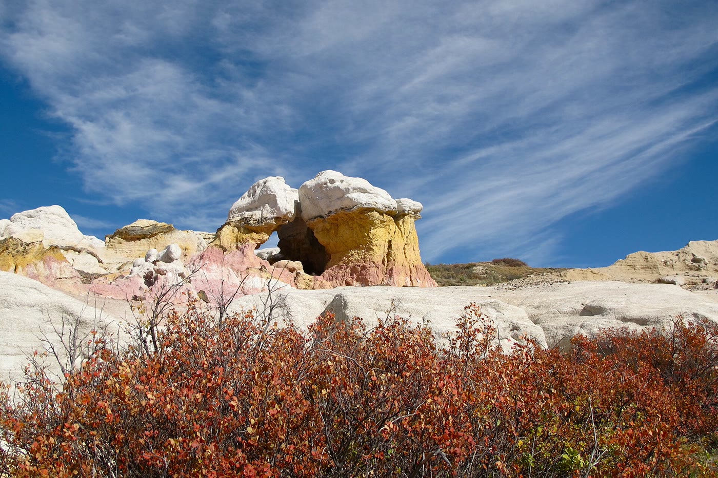 Plate CXCIII
hills39.0° N · 104.3° W
Paint Mines
Interpretive Park, Calhan, Colorado
Color the prairie left standing as towers.
Open plate
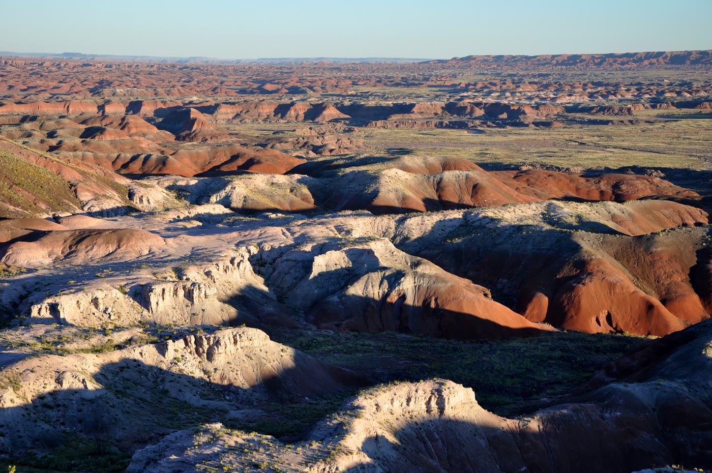 Plate CCXL
desert35.1° N · 109.8° W
Painted Desert
Tawa Point, Petrified Forest, Arizona
A desert that kept every color of old mud.
Open plate
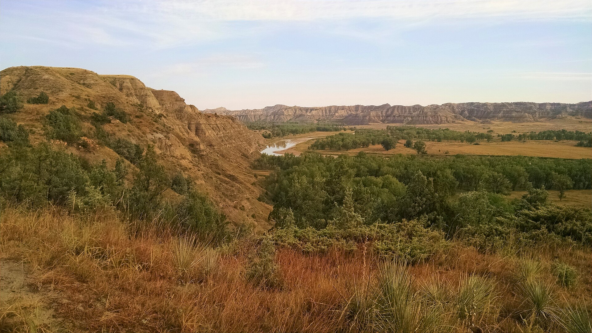 Plate CCLVII
hills48.1° N · 103.1° W
Little Missouri National Grassland
Burnt Hills, McKenzie County, North Dakota
The grassland that wears the park’s same paint.
Open plate
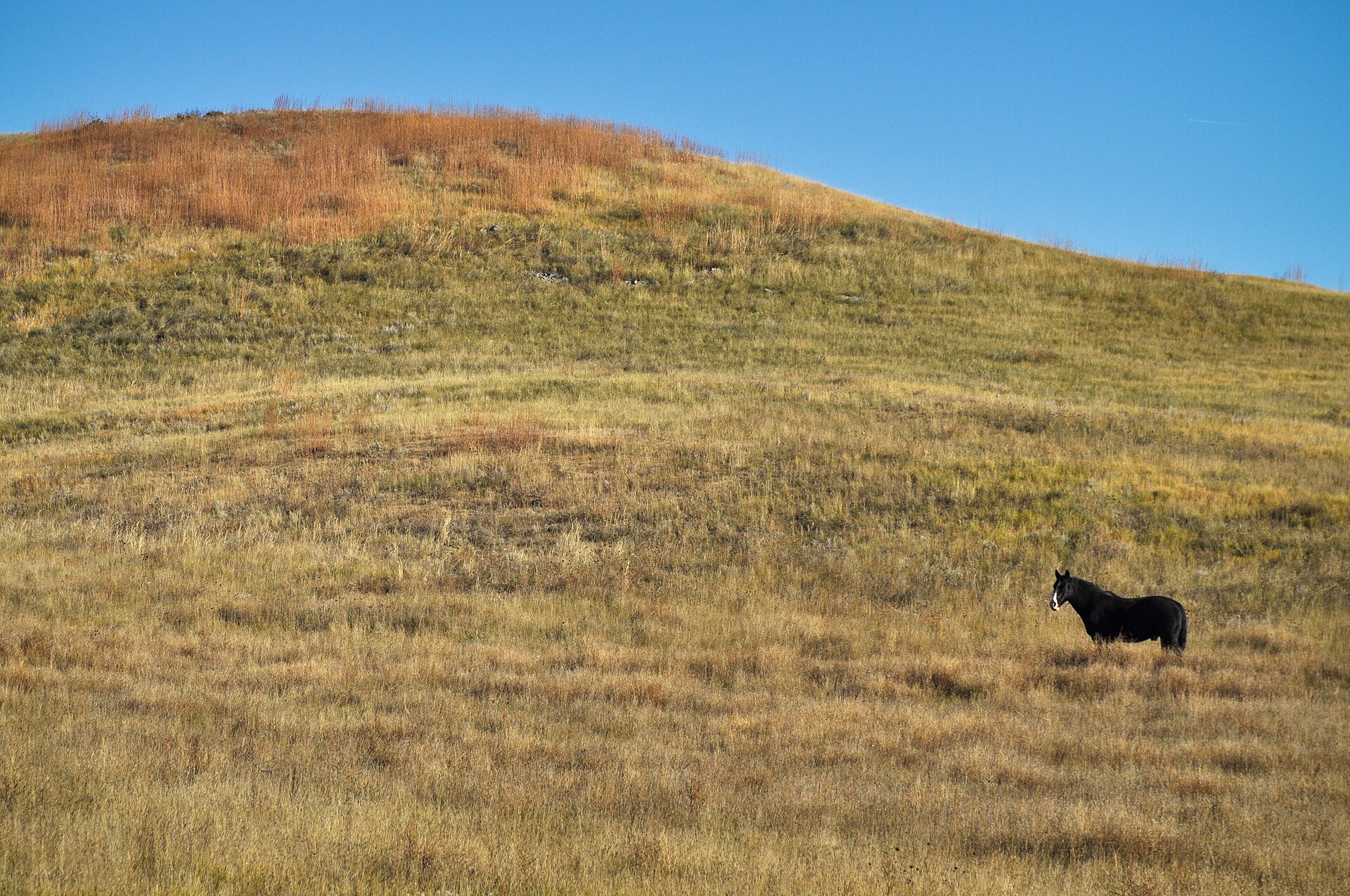 Plate CCLIX
hills43.8° N · 102.2° W
Buffalo Gap National Grassland
southwestern South Dakota, near Wall, South Dakota
The grass that walks up to the Badlands and stops.
Open plate
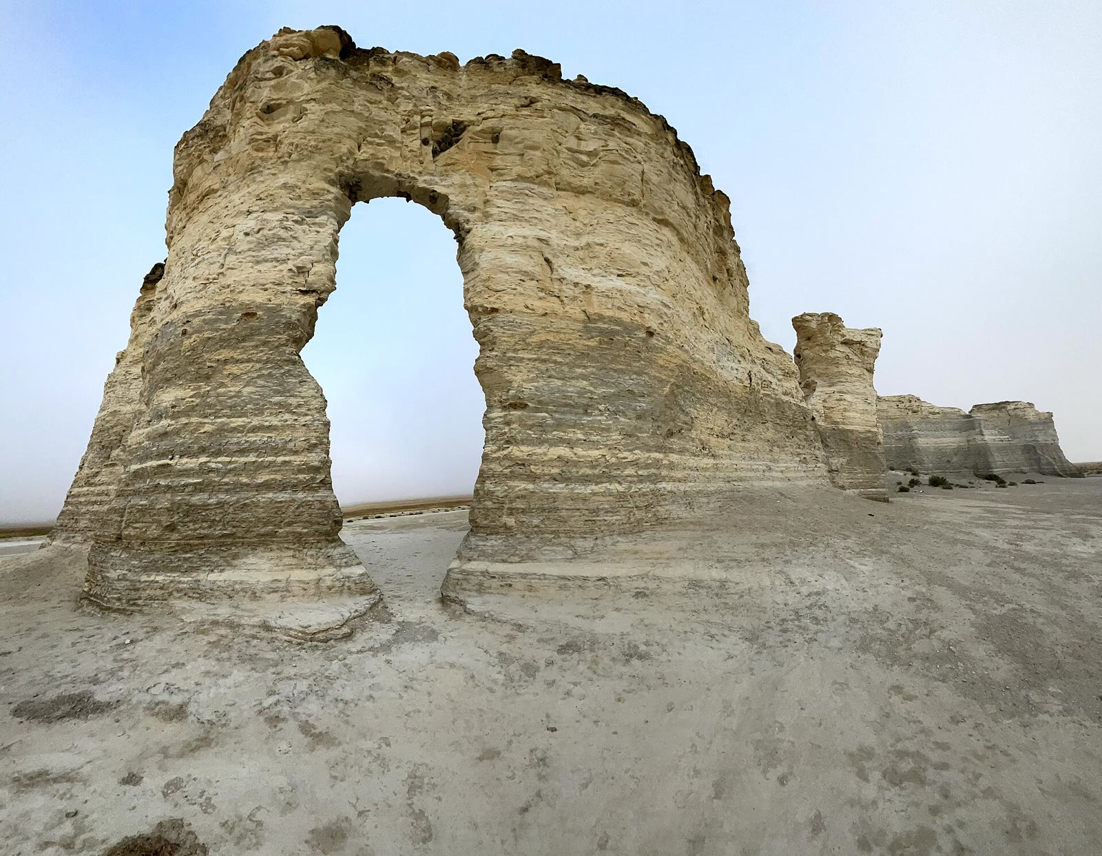 Plate CCLXIII
prairie38.8° N · 100.9° W
Little Jerusalem Badlands
Smoky Hill chalk, Logan County, Kansas
A chalk city the prairie hid.
Open plate
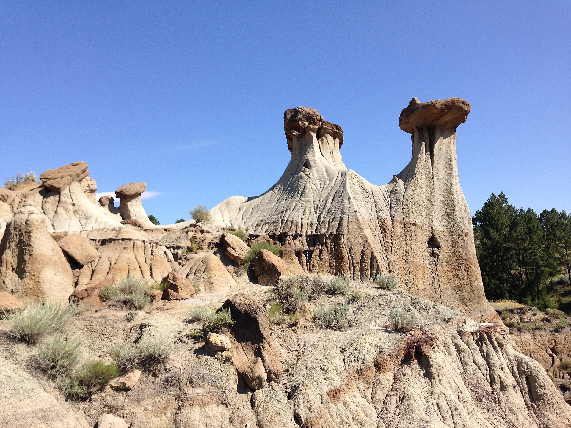 Plate CCCII
hills47.1° N · 104.7° W
Makoshika
Hell Creek badlands, east of Glendive, Montana
Pale hoodoos over sage and a hard Montana sky.
Open plate
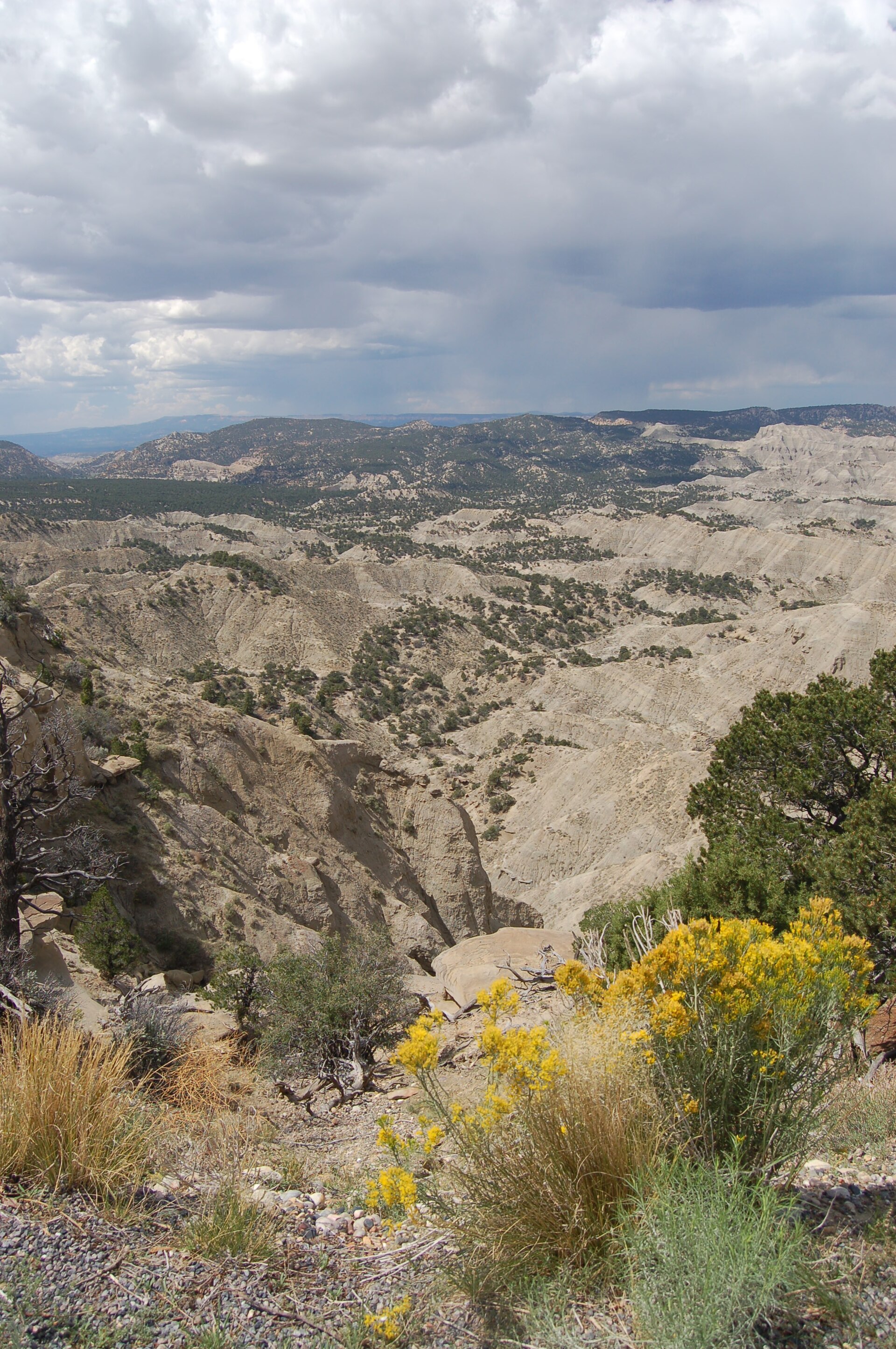 Plate CCCXXX
desert37.6° N · 111.8° W
The Blues Overlook
Scenic Byway 12, west of Escalante, Utah
Gray hills under a pink table of stone.
Open plate
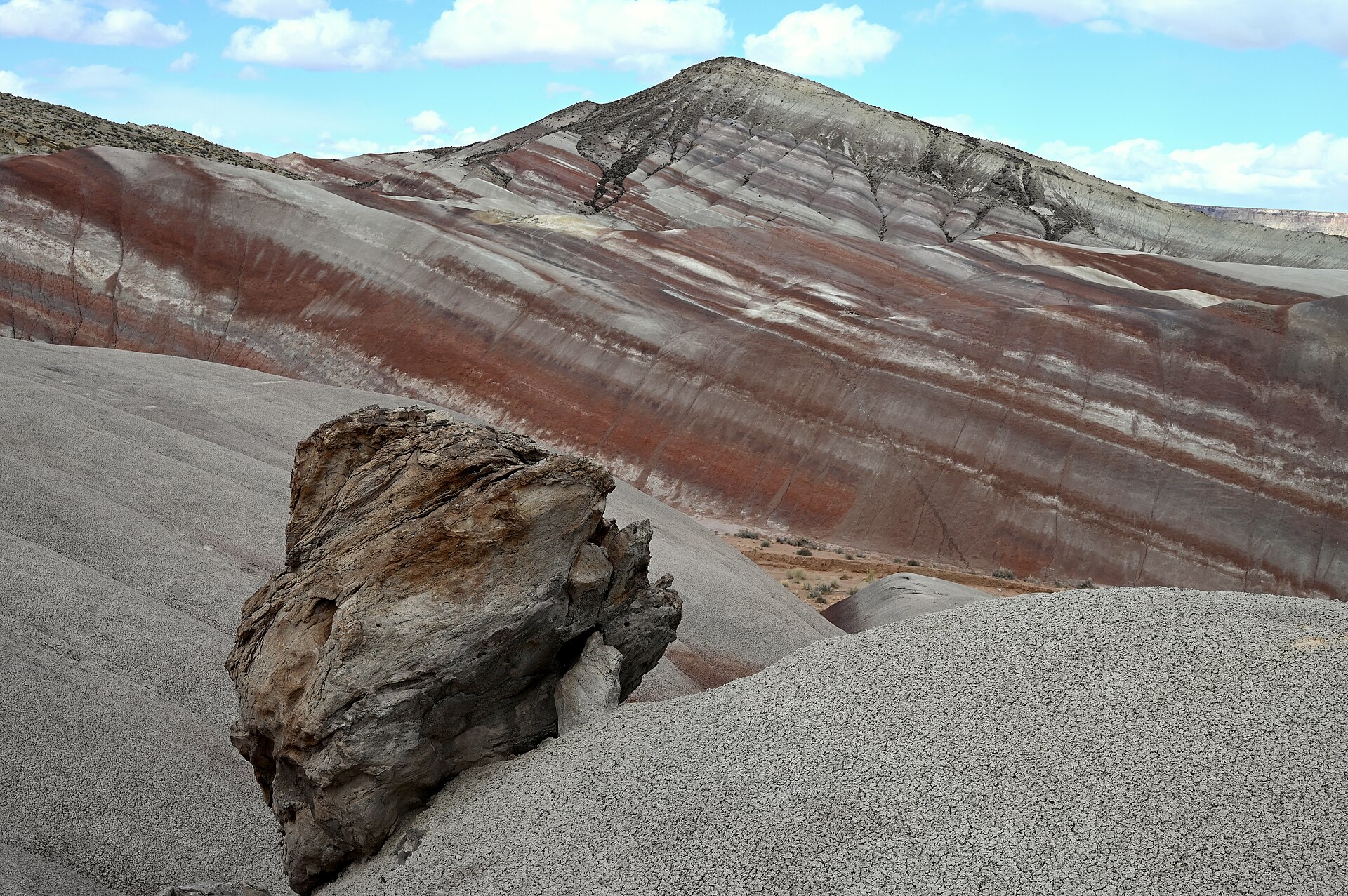 Plate CCCXXXI
desert38.5° N · 110.8° W
Moonscape Overlook
Skyline Rim, Factory Bench (approx), Utah
Gray benches the Mancos kept after the sea left.
Open plate
 Plate CCCLXXXV
badlands42.9° N · 103.6° W
Toadstool Geologic Park
Oglala National Grassland, Pine Ridge, Nebraska
Clay mushrooms on the Nebraska line, not the Utah toadstools.
Open plate
 Plate CCCLXXXVI
badlands46.8° N · 105.3° W
Terry Badlands
Terry Badlands WSA, Yellowstone River, Montana
Striped clay above the Yellowstone, with almost no trailhead crowd.
Open plate
 Plate CCCLXXXVII
badlands41.2° N · 108.3° W
Adobe Town
Adobe Town WSA, Washakie Basin, Wyoming
A city of clay spires the Washakie Basin kept to itself.
Open plate
 Plate CCCLXXXVIII
badlands34.9° N · 109.8° W
Jasper Forest
Petrified Forest National Park, Arizona
Blue and lavender clay, with trees that turned to stone.
Open plate
Asked at the trailhead
Questions already asked
- Where are badlands in the United States?
- South Dakota, North Dakota, Montana, Wyoming, Nebraska, New Mexico, Utah, and the Petrified Forest in Arizona. This index gathers those plates, including ones that also sit on a desert, hills, or prairie page.
Change course